
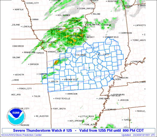
Severe weather is expected this afternoon and into this evening in Williamson County and across the region.
As of 2 p.m. A tornado watch was issued by the National Weather Service for Williamson County, much of central and eastern Tennesee large parts of the southeast U.S.
So far, Rutherford County Schools has decided to dismiss two hours early, but Williamson County Schools will dismiss at the regular times. However, if conditions warrant, WCS may delay dismissal by school, as needed, according to a statement.The transportation department will communicate individual bus delays if dismissal time exceeds more than 20 minutes late.
According to the National Weather Service, today’s forecast for our area looks like this:
This Afternoon
Showers and thunderstorms likely, mainly after 4pm. Some of the storms could be severe. Mostly cloudy, with a high near 78. South wind 10 to 15 mph, with gusts as high as 25 mph. Chance of precipitation is 60%. New rainfall amounts of less than a tenth of an inch, except higher amounts possible in thunderstorms.
Tonight
Showers and thunderstorms likely. Some of the storms could be severe. Mostly cloudy, with a low around 44. West southwest wind around 15 mph, with gusts as high as 25 mph. Chance of precipitation is 60%. New precipitation amounts of less than a tenth of an inch, except higher amounts possible in thunderstorms.
Storms likely will not begin until around 1 p.m.
Hourly Forecast
| Time | Description | Temp | Feels | Precip | Humidity | Wind |
|---|---|---|---|---|---|---|
|
12:45 pm Wed
|
Partly Cloudy | 75° | 75° |
0%
|
60% | S 18 mph |
|
1:00 pm Wed
|
Scattered Strong Storms | 77° | 77° |
50%
|
57% | S 18 mph |
|
2:00 pm Wed
|
Strong Storms/Wind | 77° | 77° |
75%
|
52% | SSW 20 mph |
|
3:00 pm Wed
|
Strong Storms/Wind | 75° | 75° |
85%
|
52% | SSW 20 mph |
|
4:00 pm Wed
|
Scattered Strong Storms | 71° | 71° |
45%
|
60% | SW 17 mph |
|
5:00 pm Wed
|
Scattered Strong Storms/Wind | 71° | 71° |
35%
|
54% | SW 20 mph |
|
6:00 pm Wed
|
Partly Cloudy/Wind | 68° | 68° |
15%
|
50% | WSW 20 mph |
|
7:00 pm Wed
|
Mostly Cloudy | 64° | 62° |
5%
|
52% | WSW 18 mph |
|
7:15 pm Wed
|
Mostly Cloudy | 63° | 61° |
5%
|
53% | WSW 18 mph |
|
7:30 pm Wed
|
Mostly Cloudy | 62° | 60° |
5%
|
54% | WSW 18 mph |
|
8:00 pm Wed
|
Mostly Cloudy | 61° | 58° |
5%
|
56% | WSW 17 mph |
|
9:00 pm Wed
|
Mostly Cloudy | 58° | 54° |
5%
|
59% | WSW 17 mph |
|
10:00 pm Wed
|
Cloudy | 56° | 52° |
25%
|
63% | SW 15 mph |
|
11:00 pm Wed
|
Few Showers | 54° | 49° |
30%
|
69% | WSW 14 mph |
|
12:00 am Thu
|
Cloudy | 52° | 46° |
25%
|
71% | WSW 16 mph |
Severe Weather Outlook
Today’s severe weather, according to the NWS, includes a 70 percent chance of thunderstorms in our area.

The NWS has issued warnings and watches for areas of Georgia and South Carolina, mostly to the south and east of Williamson County, which is in a moderate outlook area.

The most severe weather will be where shown below with tornado watches in effect for the area outlined in red:
Please join our FREE Newsletter


