
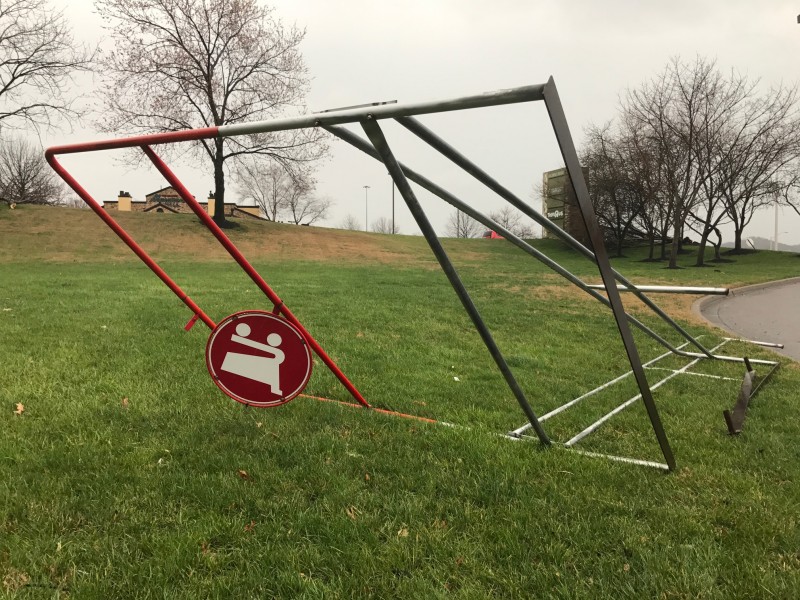
A strong storm hit Williamson County early Wednesday morning. The county was under a tornado watch for most of the morning and parts of Franklin and Brentwood were under a tornado warning for a short period of time. Although there have been wide reports of a tornado in Cool Springs, there has been no official confirmation of a tornado.
The storm quickly passed through the area but left damage, due to 70 mph winds.


Here’s the current situation in Franklin: pic.twitter.com/lJapnIuKLx
— Franklin Police Dept (@FranklinTNPD) March 1, 2017
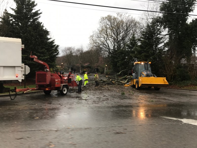
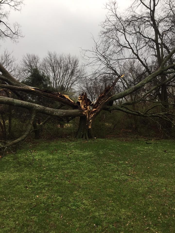
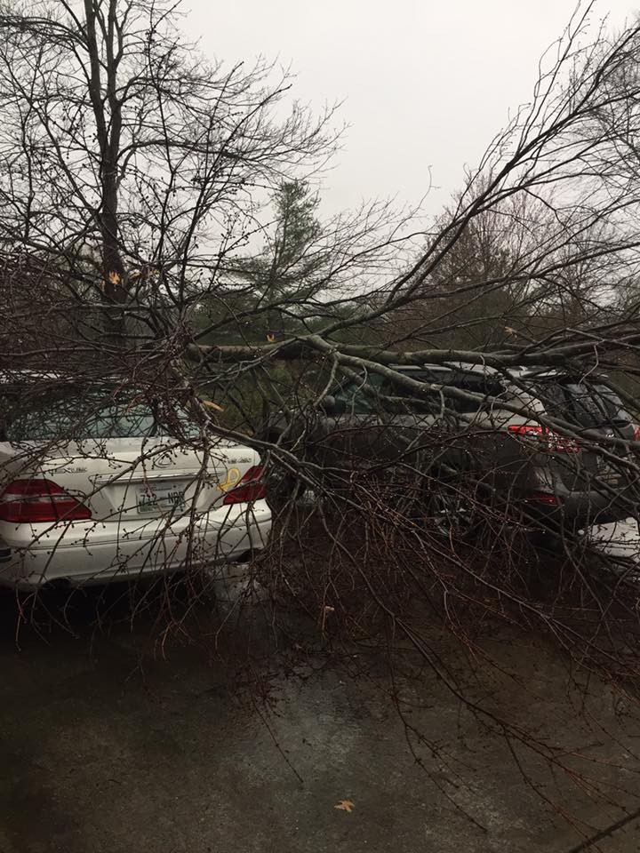
Here are some photos of storm damage we’ve collected.
. @NashSevereWx A friend took this while waiting to pull into Centennial HS in Cool Springs this morning. #tSpotter pic.twitter.com/FX69OHHAnA
— Caitlin Daschner (@CaitiCaitlin) March 1, 2017
@NashSevereWx Part of roof fell into parking lot next to Starbucks at corner of Carothers and Bakers Bridge in Cool Springs pic.twitter.com/VuZnR3E1mH
— Michael Finney (@fnney) March 1, 2017
Avoid Boyd Mill in Franklin connecting Old Hillsboro to 96 west @NashSevereWx @NWSNashville #tspotter pic.twitter.com/ouY59dkhTt
— Bink’s Lodge (@BinksLodge) March 1, 2017
Photos from Brentwood, posted by Terry Kaiper.

Cow stable in next door neighbor’s yard was no match for the tornado. (Cool Springs area) @WKRN @NashSevereWx #wilco pic.twitter.com/leuZ0GT9KL
— Kingdom Doors (@KingdomGarageDr) March 1, 2017


